Written by Samuel Grieszl and Paula Rivera
Like to hike? We’ve got you covered with a good hiking trail for you in Gwanaksan Mountain! Just make sure the trail is open when you decide to go! We will show you the fastest way to enter the hike which is directly at Seoul National University Campus.
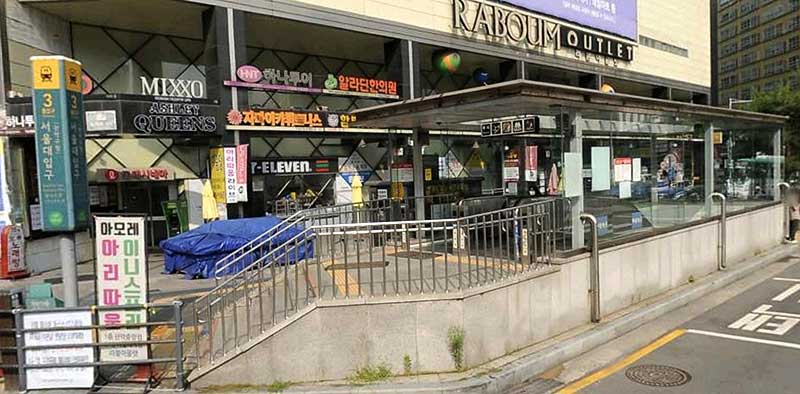
The journey starts at Seoul National University station where you should get out at exit 3. Right next to exit 3 there is a bus stop waiting for you which leads directly to Seoul National University campus, your starting point of the hike. Take bus number 5513 and go to the station called “Construction Environment Research Institute”. After getting out you will see the entrance path where you will start the hike.
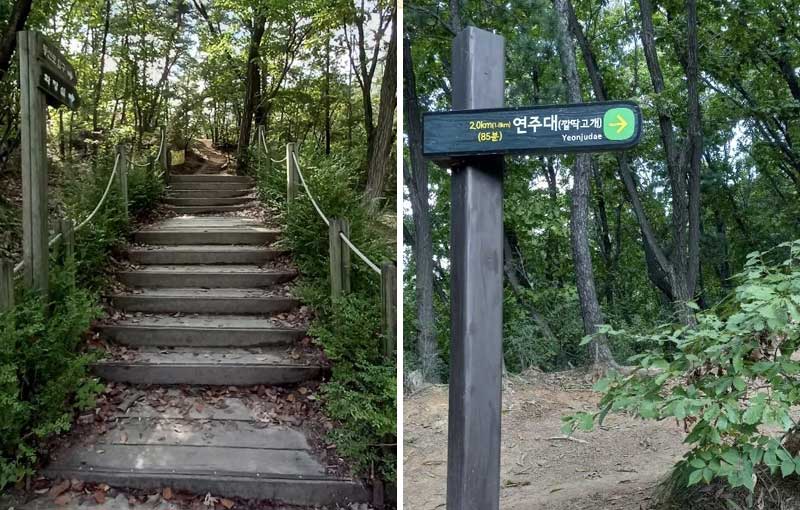
After you entered the trail you always have to look out for the sign “Yeonjudae” 연주대. If you follow only this path, you will not lose your way and reach the top.
As it is written on the sign, the distance is about 2km until the summit. The estimated time of 85 minutes is fairly right because we took about 1 hour and 30 minutes to reach the top. But we were not hiking fast and took some breaks in between, which means that you can reach the summit even faster if you hike fast.
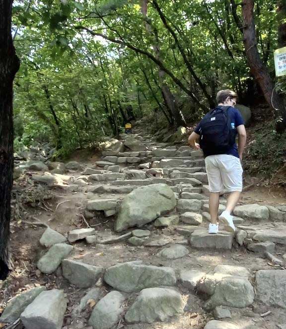
The first section of the path is fairly easy and comfortable to hike because the slope is not severe. But you will already recognize that this hike will be a rocky one. You will need to step over a lot of stones until you reach the summit.
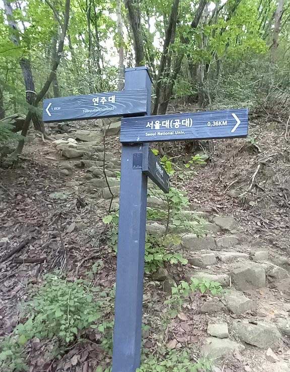
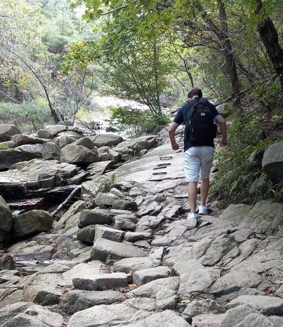
As you keep walking you will find a stream that you will need to cross. After crossing, the stream will be located on your left side. Follow the rocky path and cross the stream again.
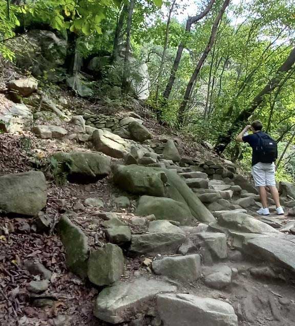
The trail will become more steep and rocky.
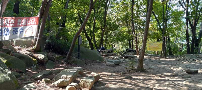
Roughly around every 500m you can find a resting area with benches. How convenient! Make sure to drink some water and have a light snack, before returning to your hike.
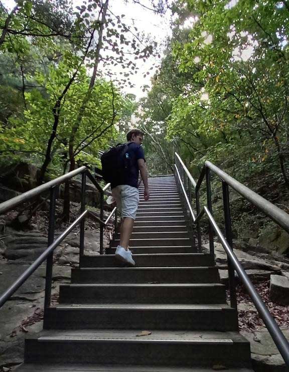
Beware!! There will be a lot of stairs to reach the top. Try to take your time and catch a breath every now and then. But after climbing over so many stairs your legs will definitely be in good shape afterwards haha 🙂
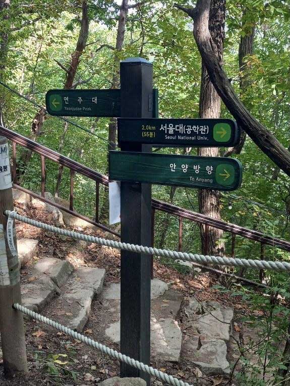
10 minutes before the summit you will reach a big crossing where you should walk downwards following the sign “yeonju summit” where you will reach the helicopter landing place.
But before going there you should try climbing the small rocks on the left side of the cross junction to take some breathtaking photos.
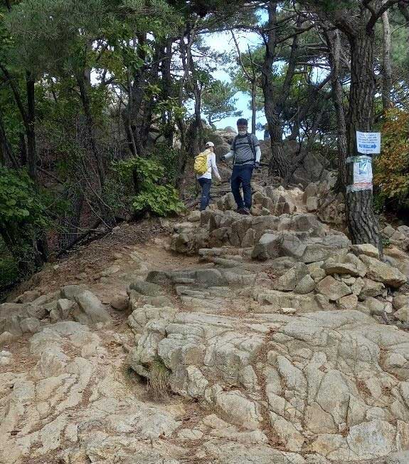
These are the rocks
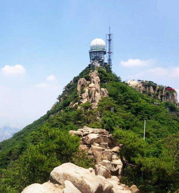
View of the radar, meteorological station and KBS Broadcasting Station
To continue your way to the summit you need to go back down the cross junction and follow the way down to the helicopter landing place.

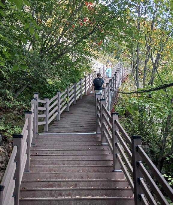
After crossing the helicopter landing place you will face your final steps until you can finally enjoy the magnificent view from the top of Mount Gwanaksan.
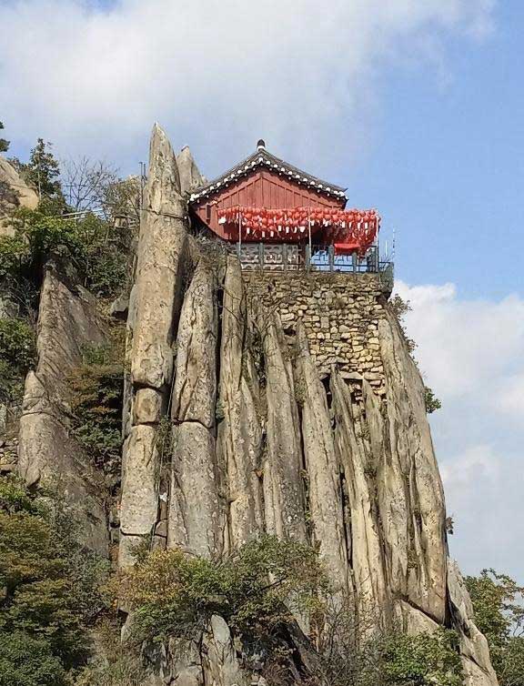
Yeonjudae Hermitage at the cliff
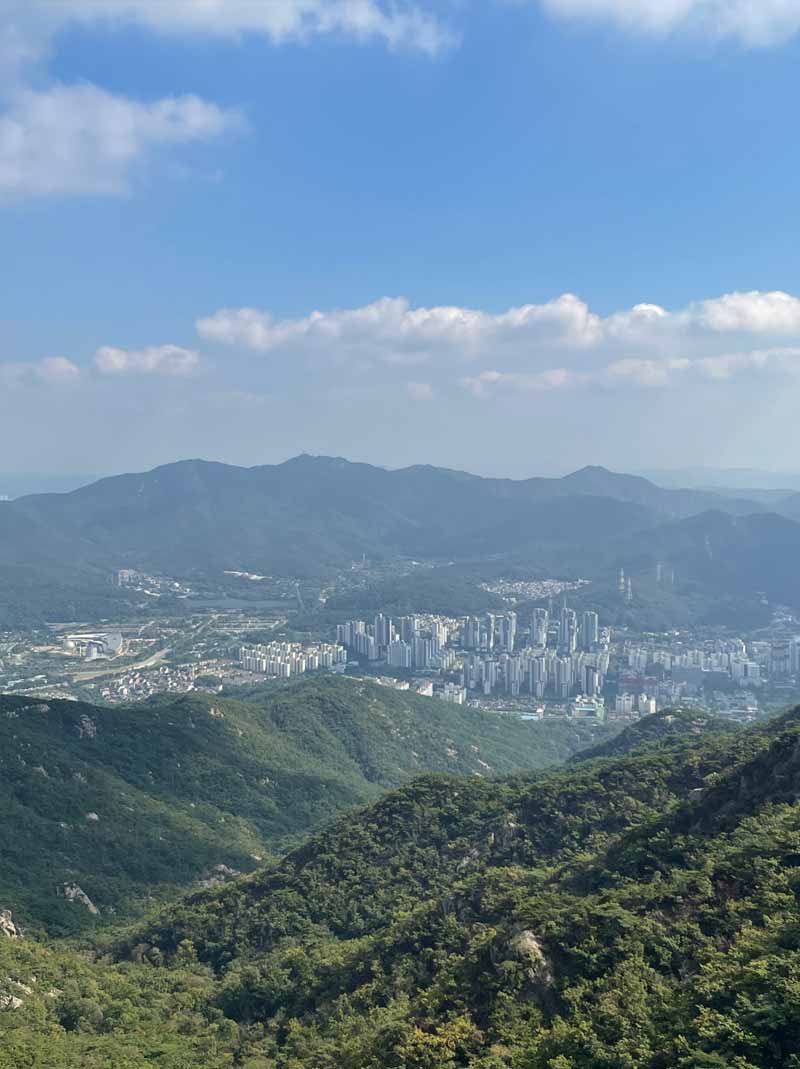
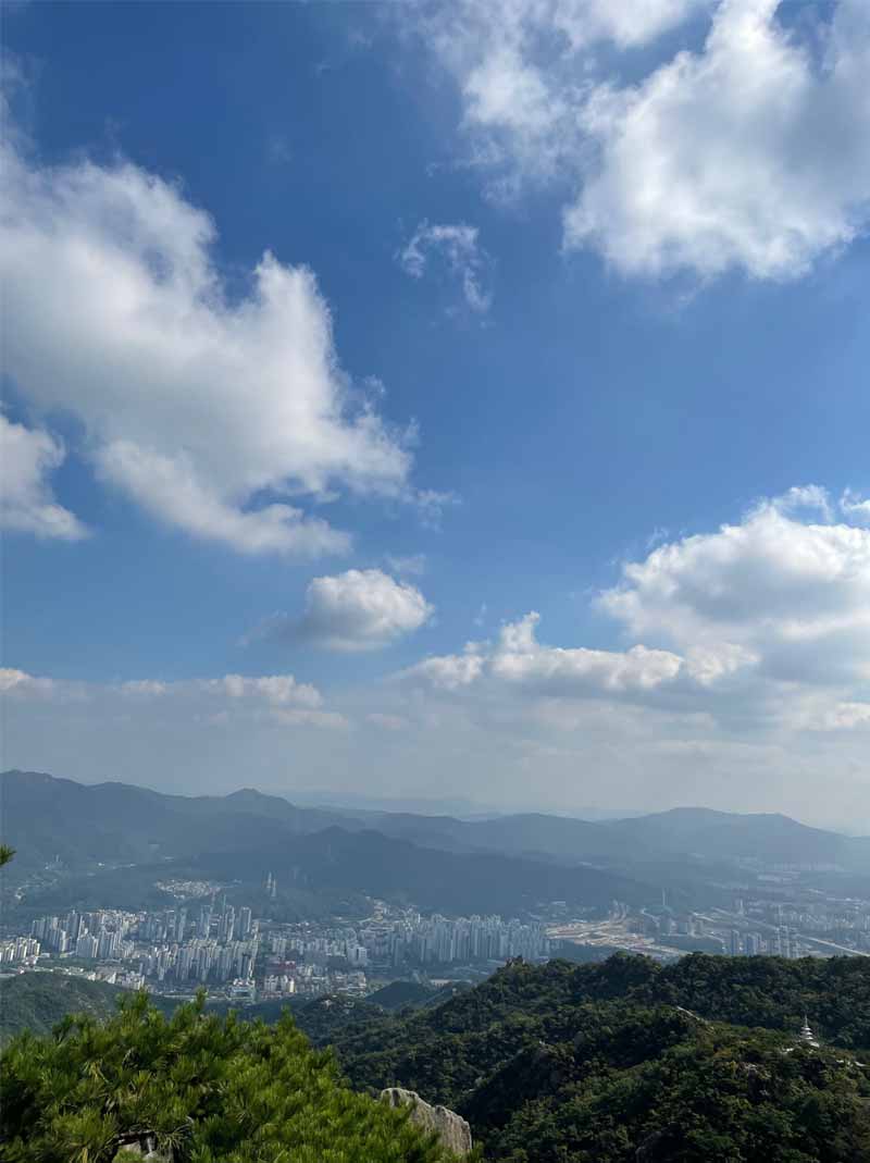
Finally we reached the top!! What a magnificent view right? On this side you can see the cities Gwacheon and Anyang. On the left of the top you can see the KBS broadcasting station but it’s sealed so you cannot go there. There are also days where you can find a person selling refreshments and even ice cream, but make sure to bring your own water and snacks, just in case!
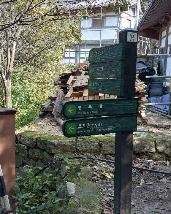
10 minutes after descending the summit you will come to another cross junction where you take the way to the Yeonju temple (연주암)
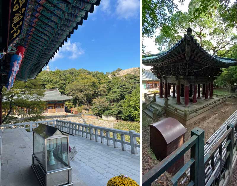
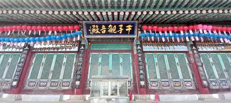
After 5 minutes you will reach the beautiful temple site hidden in the mountain. There you can get some fresh water, relax and enjoy the beautiful view of the valley of Gwacheon.
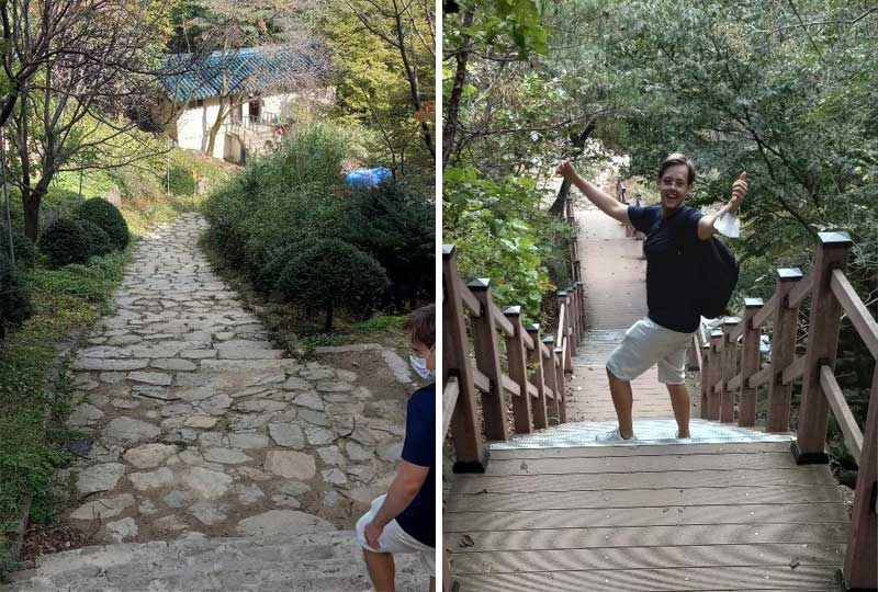
You can see rock stairs going down from the temple. Take those stairs because they are leading you to the trail down to Gwacheon.
On the way down you can experience a very beautiful scenery while walking your way down alongside the river.

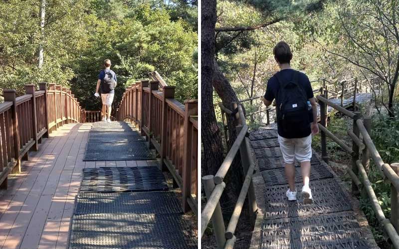
The way down the Gwacheon valley is less demanding than the trail which goes up from Seoul National University. The descend is less steep and often you can find a more even underground as seen in the pictures.

Just follow the sign in direction to Gwacheon Government Complex Station and Gwacheon Confucian School.
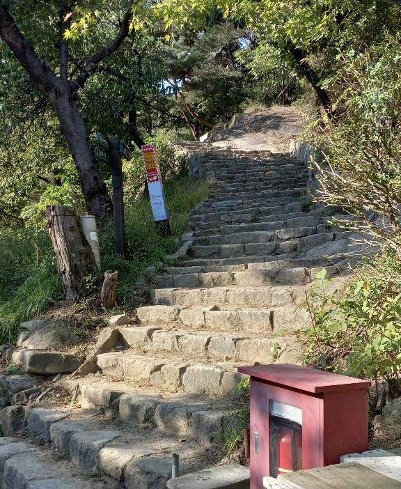
We’ve reached the end of our hike, this is the exit of the hiking path at Gwacheon. The way from the summit to here took about 1 hour and 15 minutes.
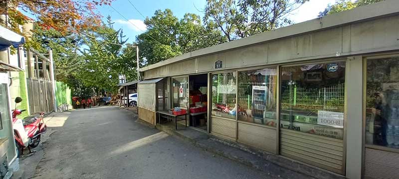
Coming down from the mountain you can find various restaurants which sell traditional Korean food and Makgeolli(rice wine).
After reaching the main road, walk along it and turn left at “Gyodong-gil”. You will reach an underpass which you go through and turn right. After ca. 100m you will arrive at Government Complex Gwacheon Station.
We all like hikes, especially ones that let you clear your mind, appreciate nature and have a good exercise. Gwanaksan Mountain was a good place to do all of these. It took us, approximately, 2 and a half hours from our starting point in the Construction Environment Research Institute bus stop and finishing in Gwacheon. It was a good experience seeing the locals and other foreigners enjoying the walk and the view. If you are visiting or living in South Korea and haven’t been to Gwanaksan Mountain, then we recommend this hike.


